GO AD-FREE. Get 2 Months Digital Subscription for ONLY £1! Use code 2FOR1
GET STARTEDMore on KentOnline
GO AD-FREE. Get 2 Months Digital Subscription for ONLY £1! Use code 2FOR1
GET STARTEDMore on KentOnline
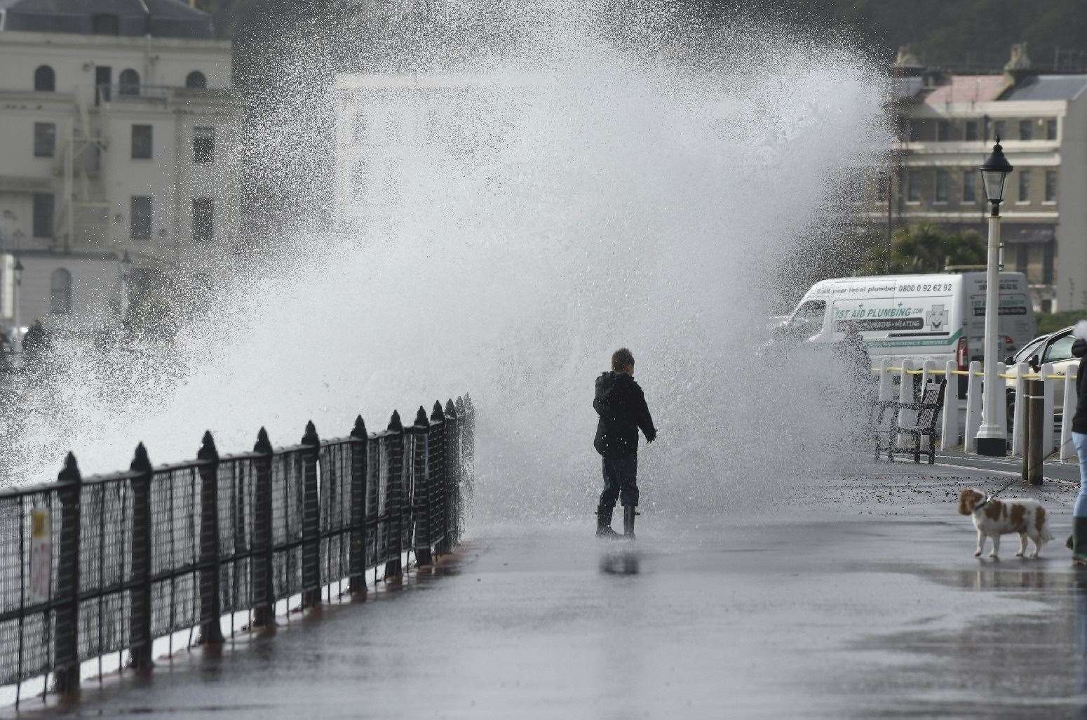
Storm Barbara will bring gale-force winds and torrential rain to Kent from the early hours - adding to an already record-breaking month of weather for the county.
A yellow weather warning is in place across the south, with torrential showers expected from 3am.
Most of the 10 to 15 millimetres forecast will fall in a three to six-hour period but some areas might see up to 50mm.
The October average for the region is 83.8mm.
The warning, which means there is a risk of flooding and disruption to travel, lasts until 2pm.
Gales of up to 40mph could batter parts of the southeast with the highest chance of high winds along the Kent and Sussex coast.
The Met Office states: "With much of this falling in a short period some surface-water flooding is likely in places, leading to disruption to travel."
It's already been a record breaking month for rain.
Saturday, October 3 was the wettest day since records began in 1891 with enough rainfall in a single day to fill Loch Ness.
By October 13 England had received 87% of its monthly average rainfall, with the south east and central southern England already 10% over what it would usually experience.
Storm Barbara, named by Spanish meteorologists, is due to strike Spain and Portugal from today, with some areas on the Iberian peninsula possibly seeing the equivalent of four to six weeks’ worth of rain in just a few days.
Met Office spokesman Oli Claydon said: “From this evening, into the early hours, there will be a band of rain moving in from the South, bringing some at times heavy rain, particularly in the South East, and then following that later in the day, a period of stronger winds, particularly again in the South East.”
Mr Claydon said winds could be particularly strong across “exposed coastal locations” and through the Dover Strait.
“Any ferry crossings, for instance, could be quite rough,” he said.
Mr Claydon said wind gusts could reach up to 40mph through the Dover Strait and in the South East, with these being “a little bit stronger” across the Channel.
He added: “It will be breezy everywhere but the stronger winds are confined to the south-east of the UK.
Mr Claydon said the UK can expect “unsettled” weather for the rest of the week.
“That wind and rain clears off into the North Sea and after that we’re left with a continued spell of unsettled conditions across the UK through the week,” he said.
“There will be periods of slightly more settled conditions and at times brighter weather as well, so there will be some sunshine around.
“But generally remaining broadly unsettled, with further wind and rain to affect the UK through the weekend as well.”
For all the forecasts, warnings and weather related news, click here.