GO AD-FREE. Get 2 Months Digital Subscription for ONLY £1! Use code 2FOR1
GET STARTEDMore on KentOnline
GO AD-FREE. Get 2 Months Digital Subscription for ONLY £1! Use code 2FOR1
GET STARTEDMore on KentOnline
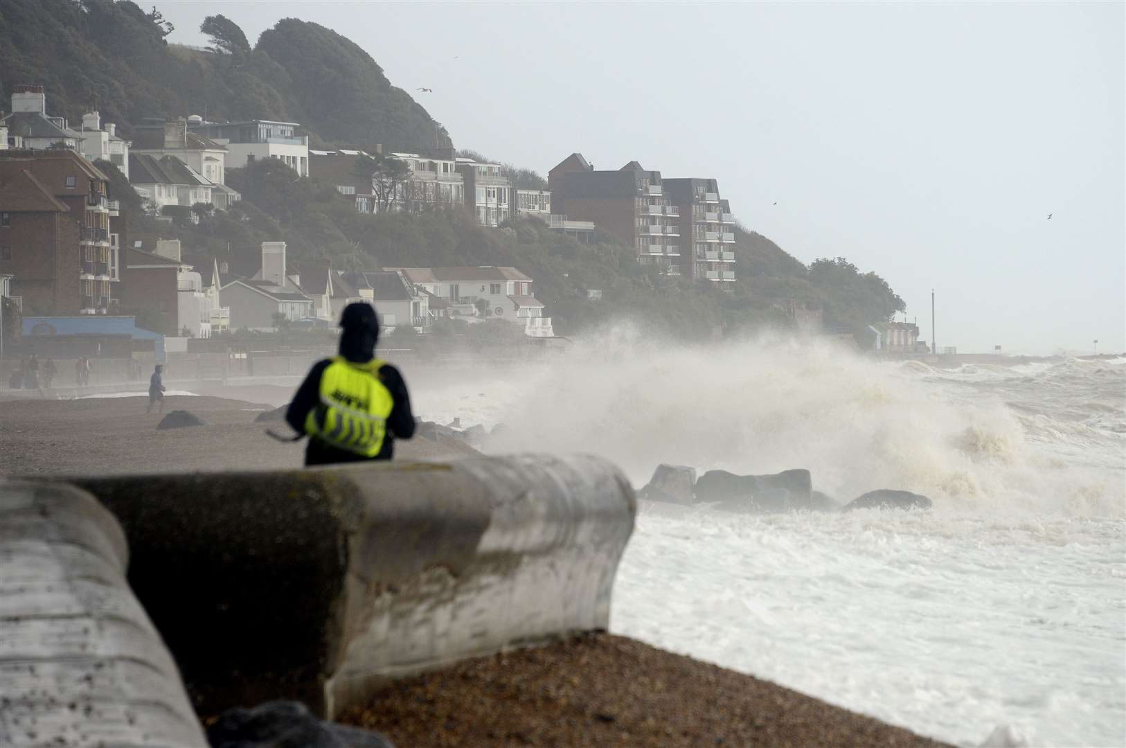
Storm Eunice is set to batter the county with winds of up to 80mph and possible snow.
Winds will sweep in from the south west early on Friday but it's not yet known where will be hit worst.
A yellow weather warning is in place between midnight on Thursday and 9pm on Friday.
And while most gust will be between 60 and 70mph some could reach 80, even inland.
Blizzards are a possibility, although are most likely in northern England and parts of Scotland.
The Met Office warned of the possibility of flying debris, falling trees, roofs being blown off and power lines brought down.
Waves could also cause injuries along the coast while there might be power cuts and road closures.
Motorists have been warned to consider whether journeys are absolutely necessary as two named storms approach the UK with the promise of dangerous winds and even blizzards.
KMTV report on Storm Eunice
Before Eunice hits, Storm Dudley will move across the northern half of the country from tomorrow (Wednesday) night into Thursday morning.
It is expected to bring wind gusts of up to 80mph-90mph on exposed coasts and hills of Scotland, with 60mph-70mph possible further inland.
Winds are expected to ease through Thursday afternoon and evening, forecasters said.
As a result the Met Office has issued an amber weather warning for Wednesday evening for strong winds, covering southern Scotland, northern England and part of Northern Ireland, with a wider area covered by a yellow warning.
Met Office chief meteorologist Paul Gundersen said: “An active jet stream is driving low-pressure systems across the country, both of which are likely to cause some disruption and National Severe Weather Warnings have been issued.”
National Highways head of road safety Jeremy Phillips said: “We’re encouraging drivers to check the latest weather and travel conditions before setting off on journeys and consider if their journey is necessary and can be delayed until conditions improve.
“If you do intend to travel, then plan your journey and take extra care, allowing more time for your journey.
"In high winds, there’s a particular risk to lorries, caravans and motorbikes so we’d advise drivers of these vehicles to slow down.
“Drivers of other vehicles should be aware of sudden gusts of wind which can affect handling and braking, and give high-sided vehicles, caravans, and motorbikes plenty of space. In the event of persistent high winds we may need to close bridges to traffic for a period, so please be alert for warnings of closures and follow signed diversion routes.”
RAC Breakdown spokesman Rod Dennis said: “The strength of the wind brought about by Storm Dudley will make driving conditions extremely difficult for drivers in the north of the UK, so we urge people to delay their journeys until the storm passes if at all possible.
“Anyone who does set out should stick to major roads if they can, reduce their speed while driving and have a firm grip of the steering wheel at all times but especially when overtaking high-sided vehicles.
“We also recommend parking away from trees as the storm may well cause some to fall.”
Mr Dennis said: “It’s vital drivers plan ahead and keep tuned to weather forecasts over the next few days to understand where is likely to see the greatest disruption from the weather.”
Electricity supply firms have also issued warnings following the widespread outages in northern England and Scotland which followed storms earlier this year.