Unlimited Digital Access / Get £25 off your Annual Digital Subscription! Use code 25OFF
GET STARTEDMore on KentOnline
Unlimited Digital Access / Get £25 off your Annual Digital Subscription! Use code 25OFF
GET STARTEDMore on KentOnline
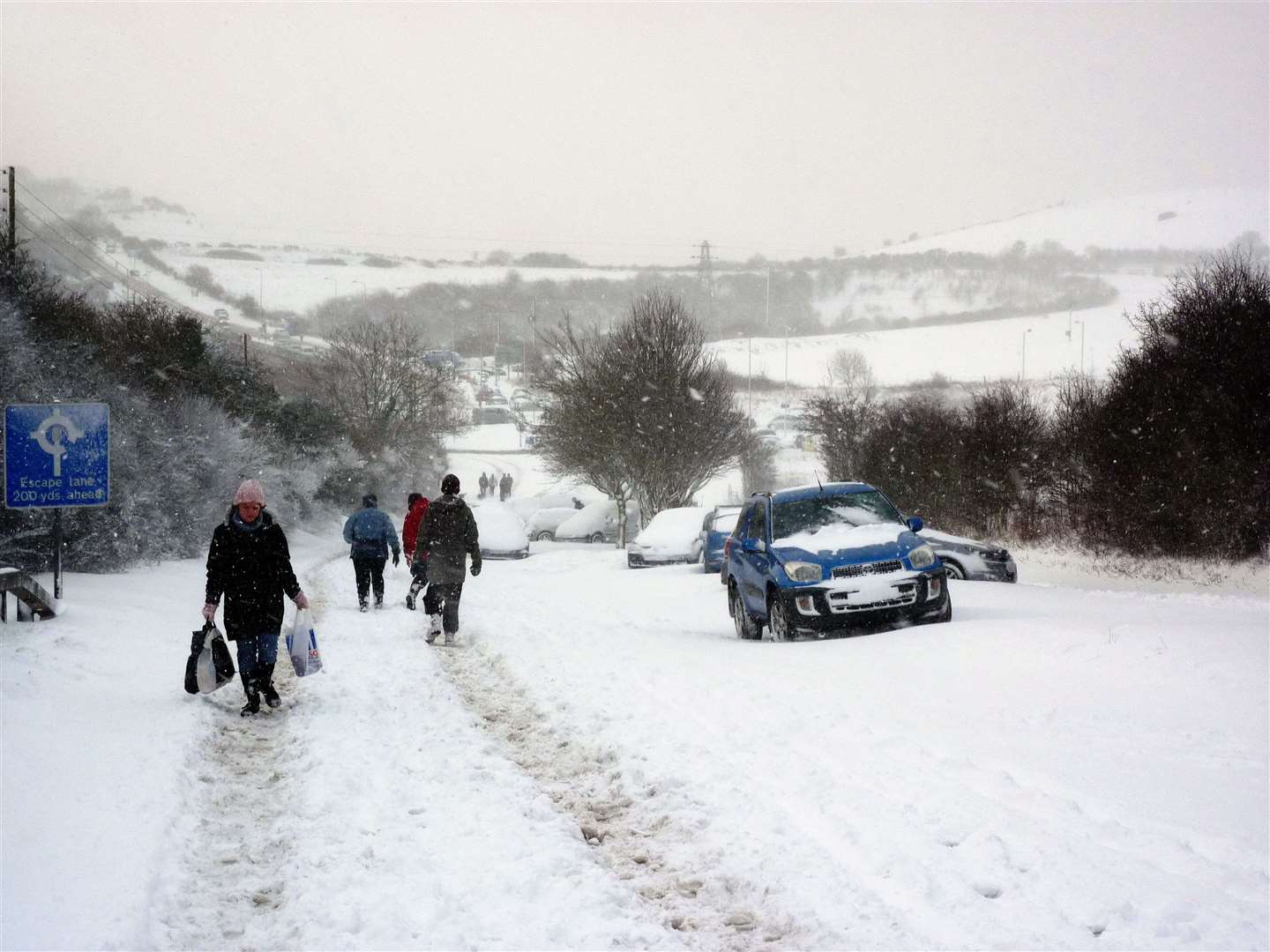
Parts of Kent could be covered in up to 10cm of snow on Sunday and Monday, according to the Met Office.
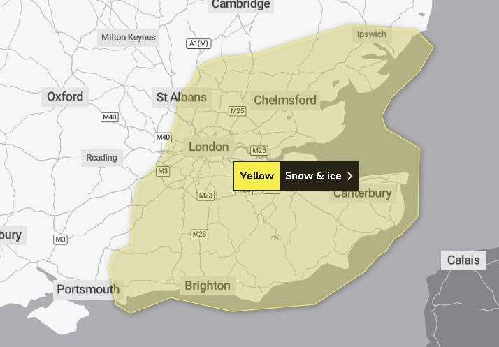
A yellow weather warning for the county was issued yesterday.
The alert was updated this morning to say snow and ice are now not a risk until 6pm on Sunday,
The Met Office says there is the potential for up to 5cm of snow to fall "quite widely" across Kent. But some areas could get twice as much.
This includes the North Downs, which stretch from Farnham in Surrey to Dover - running past Sevenoaks, up to Gillingham, and down to Aylesford, Wye, Hawkinge and Dover.
The Met Office also thinks the High Weald area could get up to 10cm of snow.
This area of natural beauty stretches from Horsham in West Sussex to Tonbridge and Tenterden.
Forecasters have warned there is a small chance there will be travel delays on roads due to stranded vehicles and passengers, as well as delayed or cancelled rail and air travel.
There is also a slight chance some rural communities could become cut off, and the possibility of injuries from slips and falls on icy surfaces.
Untreated pavements and cycle paths may become impassable, and there could potentially be power cuts and other services, like mobile phone coverage, may be affected.
Earlier this week, health officials put in place a level three warning as some parts of the UK were expected to reach -10C.
A Met Office spokesman said yesterday: "While confidence is very low at this stage, there is a chance that a band of sleet and snow could push in.
"This has the potential to give accumulations of 2-5cm quite widely, and perhaps up to 10cm in some places, most likely, but not exclusively, over higher ground such as the South Downs, North Downs and High Weald.
"In addition, ice is likely to form on untreated surfaces, mainly nearer to coasts where rain or sleet is more likely."
Today Met Office chief meteorologist Steve Willington said: “There is still a risk we could see some freezing fog in places particularly southern England, especially for Sunday and Monday mornings.
“There is also a small risk of a band of sleet or snow moving into the far south-east on Sunday.
"If this happens it could potentially bring some disruption, especially to rush hour on Monday. A warning has been issued.”