GO AD FREE | Get your Digital Subscription for only 50p a week! Use code SUMMER
GET STARTEDMore on KentOnline
GO AD FREE | Get your Digital Subscription for only 50p a week! Use code SUMMER
GET STARTEDMore on KentOnline
A "mini-heatwave" which has seen large parts of Kent bask in glorious sunshine is set to come to an end as thunderstorms take hold.
After another fine, warm and sunny day, cloud and showers are now set to spread across the south east this evening, forecasters have said.
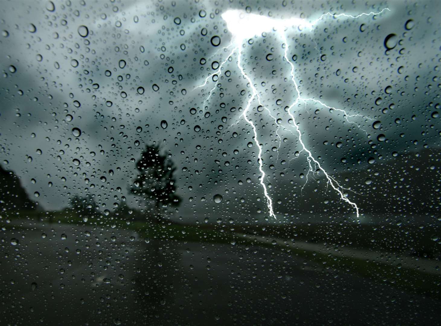
The showers are currently well scattered but are forecast to become heavier with isolated thunderstorms during the evening.
However, not all places will be hit and some parts may remain dry.
The Met Office says there is the potential that a few areas, especially in more eastern parts, may see a short spell of very heavy rain.
This could lead to localised flooding but no warning has been issued at this stage.
Temperatures will remain rather warm and muggy and once the cloud and showers have cleared, the rest of the night will be dry.

After a dry start to tomorrow, further showers are expected to develop during the day, mostly in more western areas.
There could also be heavy isolated thunderstorms before clearing during the evening.
Further showers are expected more widely on Friday with the weekend generally looking rather cloudy with light rain possible in places.
There is the risk of some heavier rain on Sunday or Monday which the weather forecaster says will need monitoring.
Temperatures will generally rise into the low-20s after today but will not reach the highs seen over the last three days.


