GO AD-FREE. Get 2 Months Digital Subscription for ONLY £1! Use code 2FOR1
GET STARTEDMore on KentOnline
GO AD-FREE. Get 2 Months Digital Subscription for ONLY £1! Use code 2FOR1
GET STARTEDMore on KentOnline
The county is set to be hit by thunderstorms later this week, as the spell of sunny weather comes to an end.
The Met Office says much of England, including Kent, could see 'intense' thunderstorms from Wednesday through to Friday, with the potential for travel disruption and flooding.
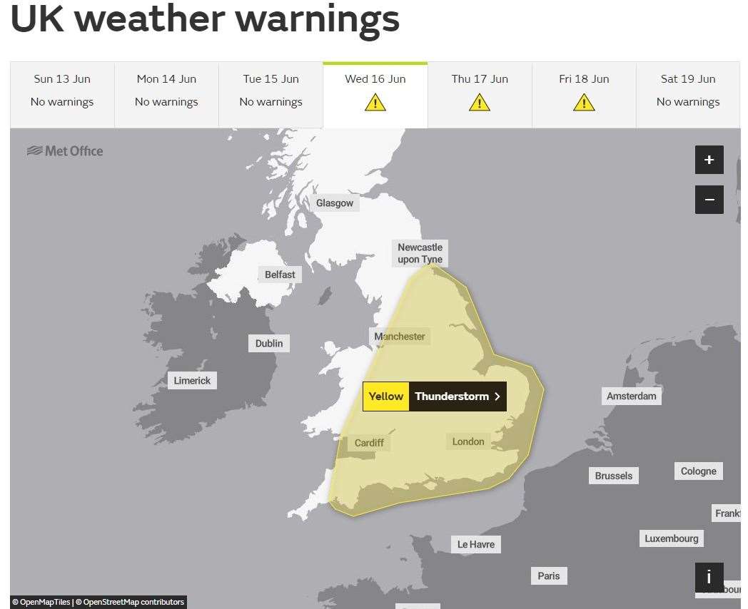
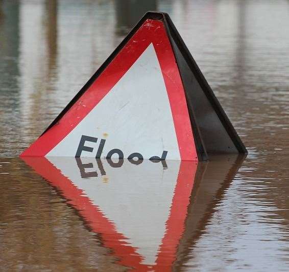
It warns that there is a small chance that homes and businesses could be flooded quickly, with damage to some buildings from floodwater, lightning strikes, hail and strong winds.
It says the affected areas are likely to face delays and some cancellations to train and bus services, while spray and sudden flooding could lead to difficult driving conditions and some road closures.
The Met Office also says there is a slight chance of power cuts in the areas covered by the warning.
It states: "Although there remains significant uncertainty in location and timing, areas of thunderstorms are expected to move northeast across parts of England and Wales from late Wednesday through to Friday morning.
"Whilst not all locations will be affected, some intense thunderstorms may occur during this period with torrential rain, hail, frequent lightning and strong gusty winds possible.
"Rainfall totals of around 30mm could fall in an hour, with some locations potentially receiving around 50mm in 2-3 hours, although these will be fairly isolated."
The warning comes on what is predicted to be the hottest day of the year so far.
Meteorologist Alex Burkill said that the Mercury could get as high as 29C today.
If it climbs above 28.3C it will make it the hottest day of the year so far as well as the hottest June 13 on record, he added. And the Met Office has also tweeted to say this record could well be challenged today.
The highest temperature recorded so far in 2021 was 28.3C (82.94F) in Northolt, north-west London, on June 2.
But Mr Burkill said it was unlikely that temperatures will go above 30C today, adding: “We are going to get close, it is unlikely we are going to get over 30C – it’s going to be touch and go."