GO AD-FREE. Get 2 Months Digital Subscription for ONLY £1! Use code 2FOR1
GET STARTEDMore on KentOnline
GO AD-FREE. Get 2 Months Digital Subscription for ONLY £1! Use code 2FOR1
GET STARTEDMore on KentOnline
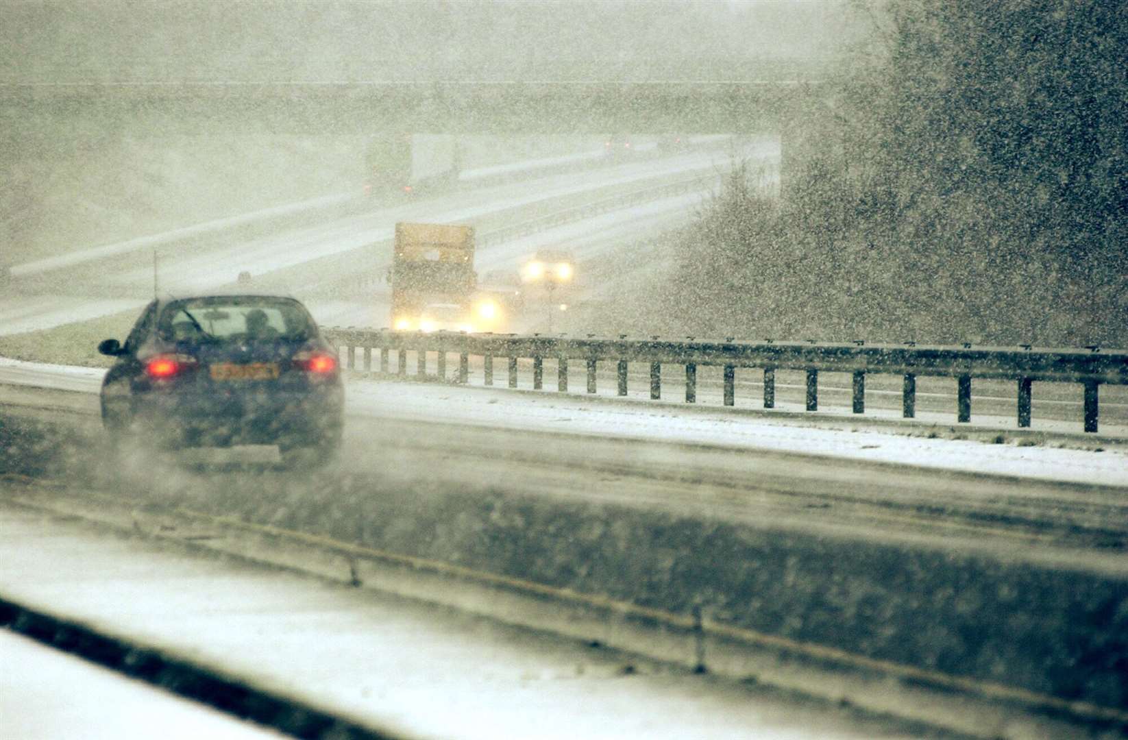
Kent is braced for snow storms and treacherous ice this weekend.
Gritters are set to take to the roads as two separate weather warnings are in place across the UK through to Sunday, with both covering the South East.
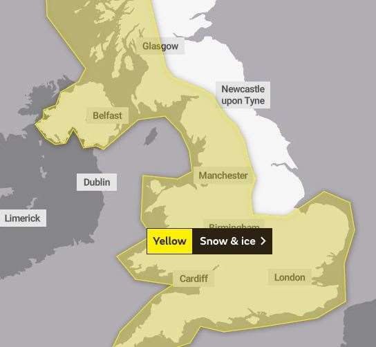
The first yellow warning is in place from 4pm today through to 10.30am tomorrow, with potential disruption to travel during that time.
It covers most of the UK from top to bottom, the only exception being the East, from Nottingham to Inverness.
Residents are being warned to expect icy patches on some untreated roads, pavements and cycle paths, increasing the likelihood of accidents and injuries.
Some roads and railways are also likely to be affected by snowfall, with longer journey times by car as well as bus and train services
On Sunday, the second warning comes into force at 3am, lasting until 6pm the same day.
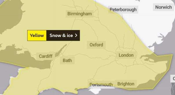
The Met office has warned that a band of rain will "turn readily to snow as it spreads eastwards", with freezing overnight temperatures potentially causing more ice problems.
Residents in the South East, South, and South West of England as well as Wales are being warned to take care on the roads and pavements to avoid potential injury.
Kent County Council will also be gritting roads across the county on Saturday and Sunday to help prevent the formation of ice and frost.
The authority is urging motorists to "drive cautiously" over the weekend.
For all the forecasts, warnings and weather related news, click here.