GO AD-FREE. Get 2 Months Digital Subscription for ONLY £1! Use code 2FOR1
GET STARTEDMore on KentOnline
GO AD-FREE. Get 2 Months Digital Subscription for ONLY £1! Use code 2FOR1
GET STARTEDMore on KentOnline
A weather warning has been issued as Kent braces itself for another bout of heavy rain and thunderstorms.
Driving conditions, disruption to transport and flooding along with lightning and hail are forecast for the county despite today’s sunny and warm spells.
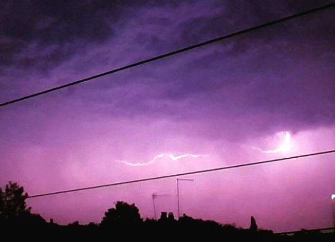
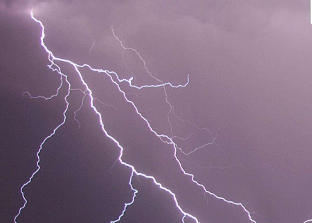
Towns and cities in the South East have experienced downpours, lightning and thunder followed by warm and humid conditions in the past couple of days.
Today’s sunshine is set to be followed by heavy showers later this evening with a yellow rain warning being issued by the Met Office for both later today and throughout the day tomorrow.
Kent is most at risk of thunderstorms with predictions of 25-35mm of rain in less than an hour and the potential for 50-60mm in two to three hours.
Heavy rain is expected to move north across Kent overnight as warm air moves towards the UK from France.
The Met Office has also warned of the potential for torrential rain, lightning, strong gusty winds and even hail while flooding along our rivers is a possibility.
Keen weather watchers took to social media to post the footage of Saturday night's storm.
A spokesman for the Environment Agency in Kent and South London said: “We will be actively monitoring the weather situation over Bank Holiday Monday and the coming week ensuring our trash screens and structures are kept clear of debris and ready to operate if required.
“River response will be very dependent on where the rain falls, and how intensely, so we are monitoring that closely and will respond appropriately and provide advice through our flood warning service as the situation develops.
“We are also prepared to support the response to surface water flooding incidents that occur with staff and equipment available by request.”