GO AD-FREE. Get 2 Months Digital Subscription for ONLY £1! Use code 2FOR1
GET STARTEDMore on KentOnline
GO AD-FREE. Get 2 Months Digital Subscription for ONLY £1! Use code 2FOR1
GET STARTEDMore on KentOnline
The Met Office has issued a severe weather warning as more flooding is predicted to cause chaos across the county.
A yellow warning will be in place between 11am and midnight, as thunderstorms impact southern parts of the UK.
Officials have warned that fast-flowing or deep flood water is possible, causing a danger to life.
Kent Fire and Rescue Service is warning the west of the county will be worst affected, particularly Tonbridge and Tunbridge Wells.
Flooding of homes and businesses could happen quickly, with frequent lightning and large hailstones a possibility.
There is the potential for 30 to 40mm of rain to fall within an hour - more than three times the expected levels for a whole month in Kent.
This could increase to as much as 60 to 80mm in two to three hours, and buildings may also be damaged by floodwater, lightning strikes, hail or strong winds.
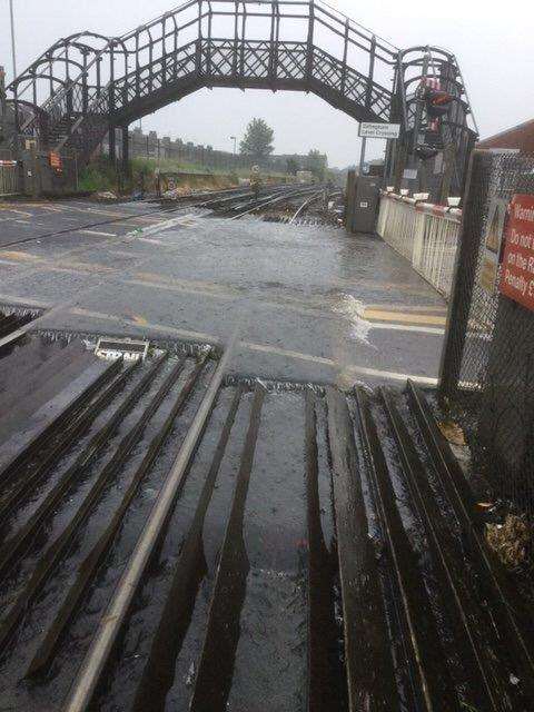
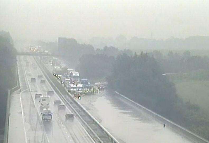
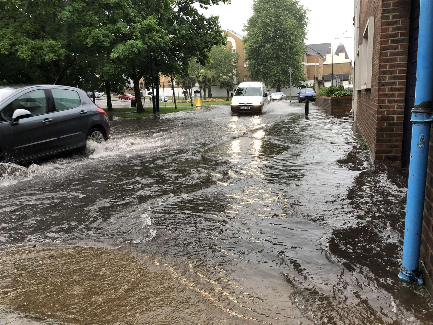
This news comes after rain lashed down across Kent on Tuesday, causing serious traffic and rail problems.
Fire crews rescued several people trapped in their cars after flash flooding left some roads impassable, and train delays impacted commuters across the county.