Unlimited Digital Access / Get £25 off your Annual Digital Subscription! Use code 25OFF
GET STARTEDMore on KentOnline
Unlimited Digital Access / Get £25 off your Annual Digital Subscription! Use code 25OFF
GET STARTEDMore on KentOnline
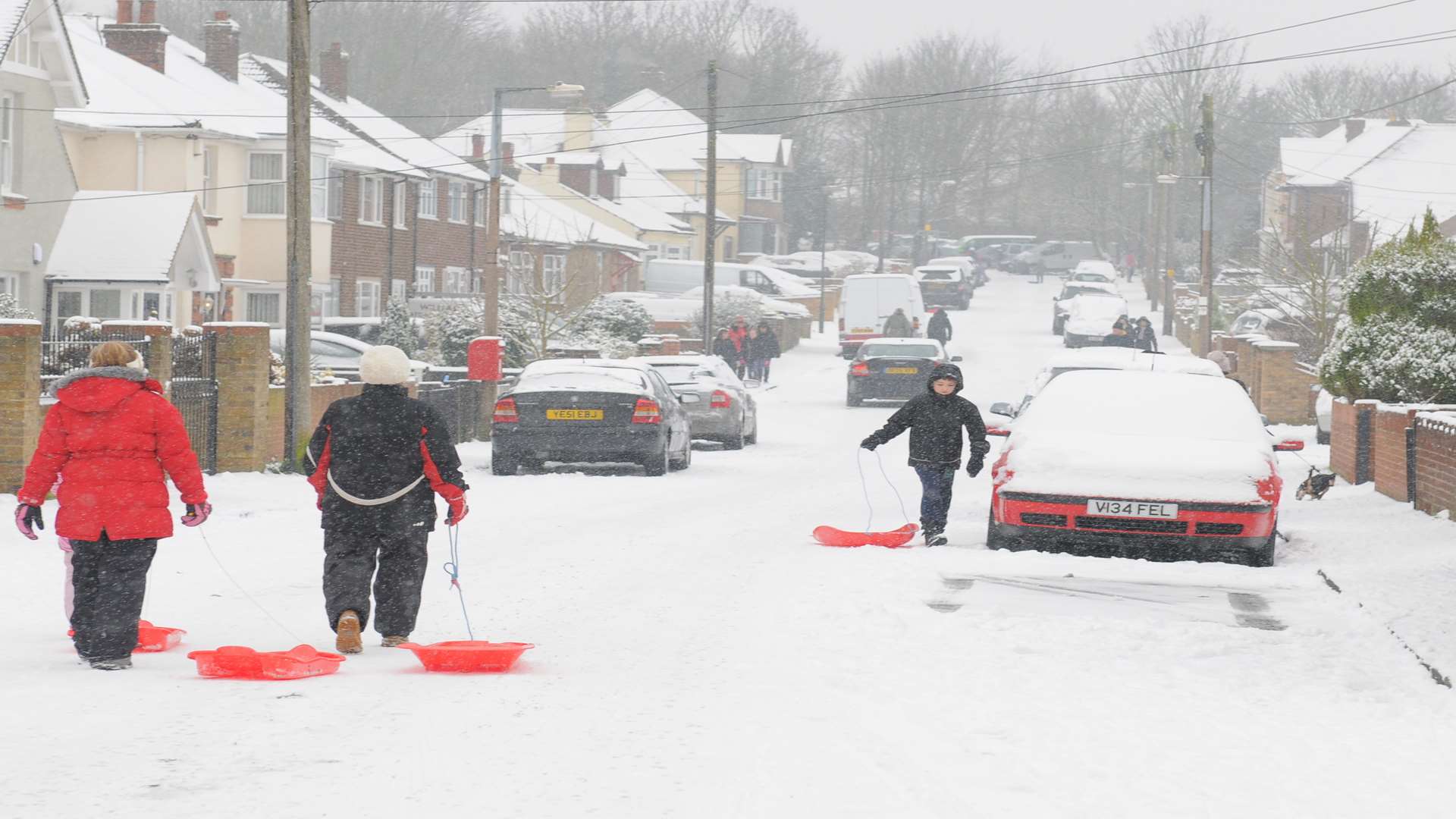
A weather warning issued for snow in Kent tomorrow has been extended - as forecasters increase the likelihood of disruption caused by the white stuff.
Yesterday, the Met Office said there was a small chance of snow settling, which could cause problems on road, rail and air travel as well as power cuts.
But today, experts upgraded their prediction from a "very low likelihood" of snow to "likely".
Scroll down for audio
The warning, which was in effect from 10am until 9pm tomorrow, has now been extended to just before midnight.
Heavy rain and strong winds could also worsen the conditions.
A spokesman said: "Rain moving eastwards across the south of the UK on Thursday may turn to snow in places.
"There is a chance of snow settling with disruption to road, rail and air services as well as interruptions to power supplies and other utilities - this more likely across East Anglia and southeast England.
"Associated heavy rain and strong winds may prove additional hazards."
The updated warning refers to a slight increase to the risk of disruption from snow, and says ice could also present a hazard.
The spokesman added: "As skies clear on Thursday night there is also potential for widespread ice to form quite rapidly on untreated surfaces.
"As a developing area of low pressure moves east across southern Britain on Thursday there is potential for rain to turn rapidly to snow as cold air is drawn in.
"However, there is a great deal of uncertainty over the track and intensity of this system, meaning that confidence is low in the amount and extent of any snow."
The yellow warning urges people to "be aware".