GO AD-FREE. Get 2 Months Digital Subscription for ONLY £1! Use code 2FOR1
GET STARTEDMore on KentOnline
GO AD-FREE. Get 2 Months Digital Subscription for ONLY £1! Use code 2FOR1
GET STARTEDMore on KentOnline
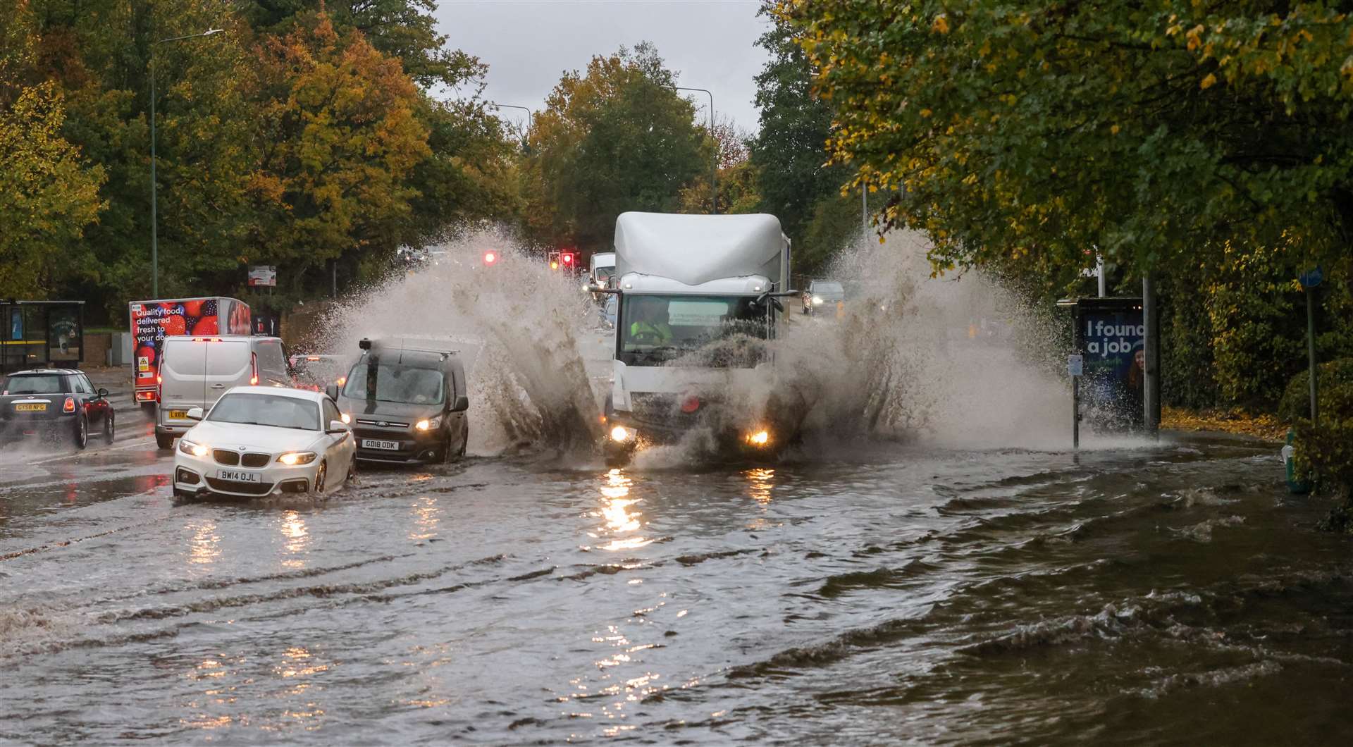
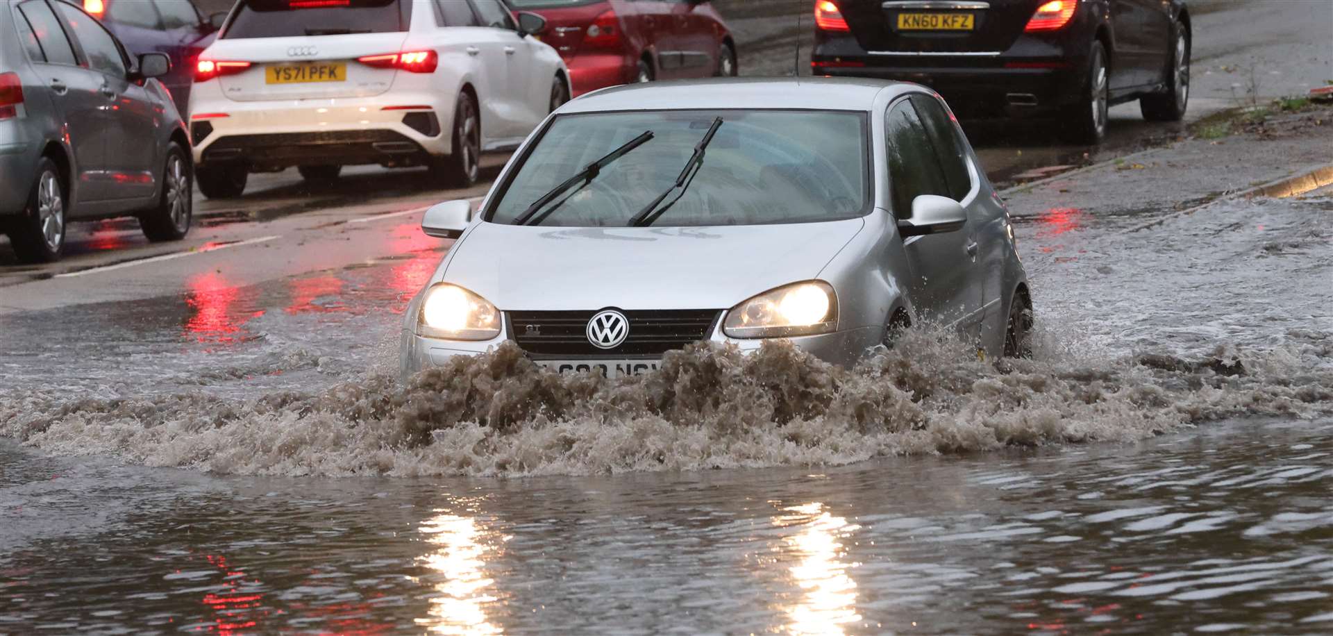
Multiple flood warnings have been issued around Kent with rain expected to batter the county.
The Environment Agency has issued a warning to people about the incoming weather tomorrow.
The Medway Towns, Aylesford, Lower Halstow and Middle Stoke and Lower Stoke are all on the list of places to expect high waters.
Between 1.30pm and 3.15pm is when the tide is expected to at its highest at Medway estuary, with Upnor and Canal Road in Strood described as being an area of concern.
A spokesman added: "We are closely monitoring the situation. Our incident response staff are operating our defences and structures at Queenborough Barrier and Front Brents and Canal Basin.
"Please be careful along beaches, promenades, coastal footpaths and roads between, as large waves and sea spray could be dangerous."
Similar flood warnings have been issued for the coasts from Whitstable to Margate, including Herne Bay, Reculver, Marshide, Saint Nicholas at Wade, Birchington and Westgate-on-Sea.
The Environment Agency also said flooding is possible for from Dartford to Allhallows, including Crayford, Greenhithe, Northfleet, Gravesend and the North Kent Marshes.
Elsewhere in the county, areas of Swale have been told to be prepared for heavy rain and floods.
Areas at risk of coastal flooding on the from Kemsley to Seasalter, include Sheerness, Minster, Queenborough, Leysdown on Sea, Sittingbourne and Faversham.