GO AD-FREE. Get 2 Months Digital Subscription for ONLY £1! Use code 2FOR1
GET STARTEDMore on KentOnline
GO AD-FREE. Get 2 Months Digital Subscription for ONLY £1! Use code 2FOR1
GET STARTEDMore on KentOnline
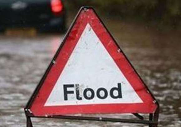
Areas across the county are being warned of the threat of flooding on Monday due to high tides.
The Environment Agency says it expects flooding in various coastal and inland areas around the time of tomorrow’s high tides – expected around lunchtime.
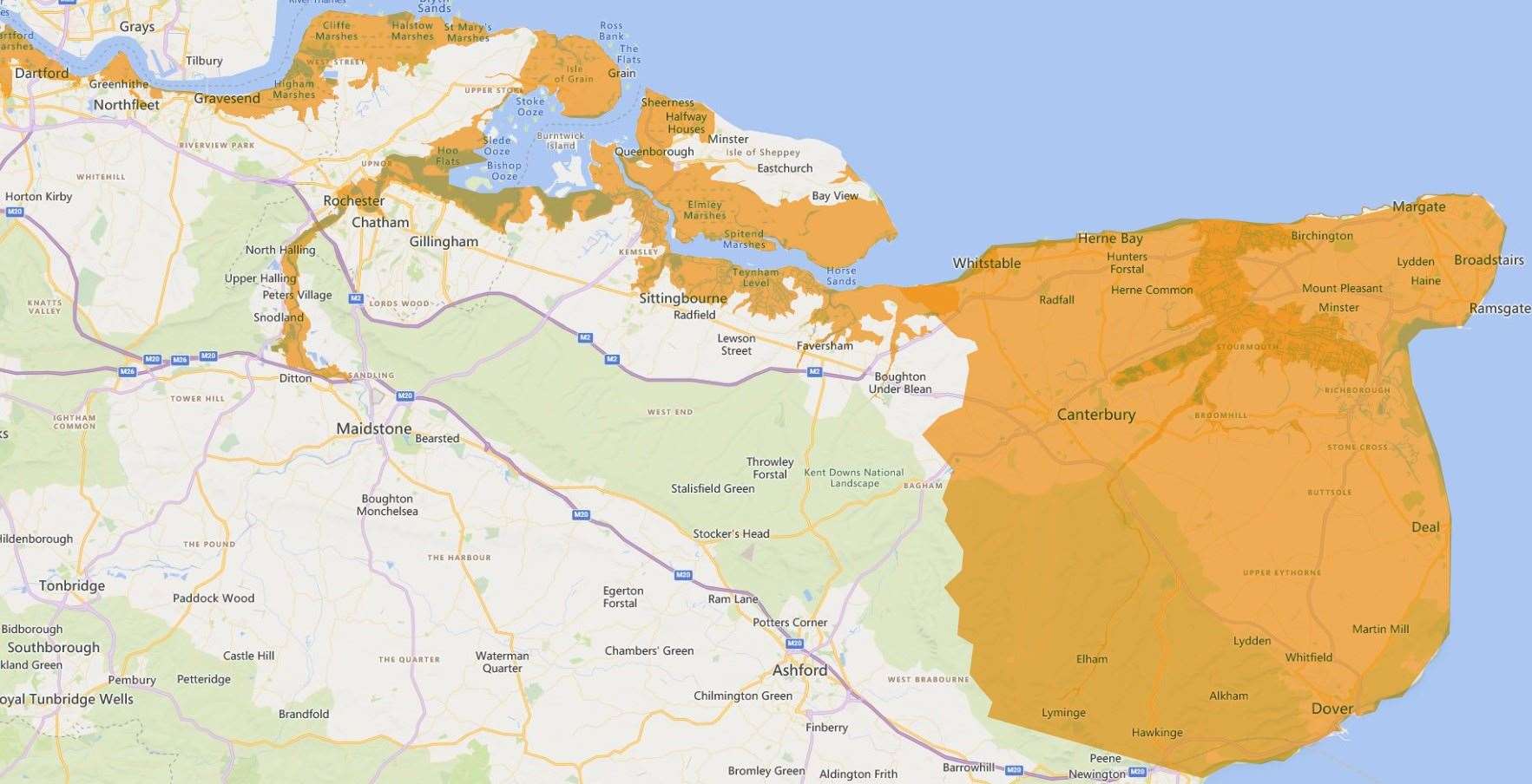
And it warns the high spring tides will continue into next week – prompting flood gates to be closed and checks on defences.
The warning stretches along the north Kent coast – from Dartford to Margate and will coincide with MNonday’s high tide at around 1.15pm.
It says: “Flooding is possible at low-lying land, promenades and coastal footpaths for one to two hours either side of the high tide”.
It does not expect properties to be impacted, however.
Towns along the tidal River Medway and around the Isle of Grain are being alerted with the rise in tide levels affecting Aylesford, Medway Towns, Lower Halstow, Middle Stoke, and Lower Stoke.
Further west, other warning areas from Dartford to All Hallows including Crayford, Greenhithe, Northfleet, Gravesend, and the North Kent Marshes may be impacted.
The Isle of Sheppey has also been alerted to possible coastal flooding, raising concerns at areas from Kemsley to Seasalter, including Sheerness, Minster, Queenborough, Leysdown on Sea, Sittingbourne, and Faversham.
Heading east, towns from Whitstable to Margate, including Herne Bay, Reculver, Marshside, St Nicholas at Wade, Birchington, and Westgate-on-Sea, could be impacted.
The warnings issued this afternoon come after the Environment Agency earlier raised concerns about rising water levels along the River Stour.
Updates from the Environment Agency are expected tomorrow morning.